IT-solution for farmers: seeding control, GPS monitoring, land bank management and electronic field passport
14.06 2021
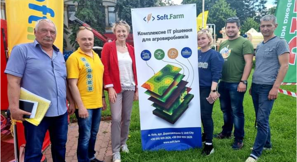
The «AGRO-2021» exhibition was very eventful, so four days of its work flew by in an instant. Many interesting meetings remain in our memories not only with the participants and organizers, but also with the guests of the exhibition, our partners and users of the Soft.Farm system.
This business event is a unique platform for mutual exchange of technologies, experience and best practices of representatives of different regions of Ukraine and provides an opportunity for cooperation with countries — leaders of the world agricultural sector. The Soft.Farm team took an active part in «AGRO» and was pleased to present updates and improvements that have been successfully implemented in our service over the past year.

We talked about a new approach to visualization of field work in the interface of the «GPS-monitoring» module. The innovative function «Agroplan» displays the usual planning in a graphical form, allows online monitoring of the progress of field work in the geofence, divides the movement of equipment into stopping lots, crossings and ultimately simplifies and automates the closing of the field. As a result, a complete report for the shift is generated, on the basis of which a field work order is created with the display of all summary information, including equipment tracks.

Our team presented the ability to work with .2020 data files from such a well-known manufacturer as Precision Planting. We have implemented the ability to upload this data to our portal by transferring files from flash drives and visualize the available information in the form of cartograms. Not only singulation, seeding rate, grade rate or yield can be mapped, but also Precision Planting specific data can be mapped to assess the performance of each section of the planter and the overall unit in any process step. As a result, a complete report is generated on the amount of time and seed spent on work, the seeding rate, the presence of twins and gaps are monitored, and the sown area is calculated. The generated cartograms are available for subsequent analysis and comparison with yield maps, NDVI satellite images, results of soil chemical analysis, etc.

In the improved cadastral module, in addition to updates in obtaining data from state registers and the ability to automatically create a lease agreement according to a previously prepared template, we presented a new function of our web service — «Security», which allows you to monitor the state of the land bank of any agricultural company on a daily basis. Changes are tracked using USREOU codes of enterprises and in case of discrepancies, the system automatically sends a notification to the person in charge by e-mail or SMS.

The program «AGRO» is constantly updated and supplemented, and the exhibition is becoming more interesting and diversified every year, as it keeps pace with the times and develops together with the agricultural sector. This event confidently declared itself as the most visited and popular agricultural forum in Ukraine. The Soft.Farm team would like to thank the organizers, guests, users and partners for participating in the exhibition, visiting our stand and opening up new prospects for cooperation!
Back to news list