News
08.02 2022
Presentation of the digital field data platform
From February 15 to 17, the International Exhibition Center (Kyiv) will host one of the main exhibition events in the agricultural sector of Ukraine — AgroSpring 2022. The Soft.Farm team will present its stand № 102 (pavilion № 3, entrance 3A) as part of the international exhibition of innovative solutions Grain Technologies 2022. We will talk about the development of new functions of the software package and the improvement of already known modules, such as cadastral registration of land plots, GPS monitoring of equipment, satellite images and the NDVI index, agroscouting, cartograms, seeding control and others.
20.01 2022
Accounting for materials (PPP, fertilizers, seeds) during field work
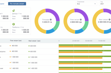
The production process in agriculture consists of a complex of works and is seasonal in nature, and the technological features of land cultivation differ at each stage of cultivation, whether it is soil preparation, sowing, caring for crops or harvesting. Soil preparation for sowing includes loosening, harrowing, cultivation, in the care of crops it is planned to water, apply fertilizers or plant protection products, during sowing seeds are loaded and transported to the field, their subsequent rolling, etc.
09.12 2021
The security of land plots is being improved with new information
Land monitoring is an important management function in the use and protection of land, regardless of the form of its ownership, purpose and nature of use. However, due to the imperfection of the legal system and the lack of effective mechanisms to protect the rights of agribusiness regarding free and unhindered land ownership, the phenomenon of raiding continues to progress. Basically, raider attacks are based on flaws in the legislation, which are associated with the procedures for concluding agreements and state registration of the lease right.
25.11 2021
How to use exchange files for accounting of land plots of an agricultural enterprise
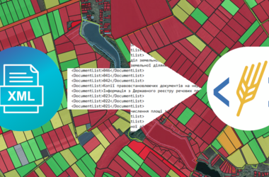
One of the legal factors of land ownership is the entry of the land plot into the register of the base of the national cadastral system. Previously, registration was a very time-consuming process with a large number of refusals, but now it is being actively reformed and is becoming more transparent and accessible even online. The creation of land cadastral information about the site begins with the implementation of land management work.
16.11 2021
Community Land Management
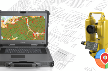
Many land surveyors are faced with the problem of constant changes in registration data in state registers. Corrections in the records of the State Register of Real Rights to Real Estate are made in the event of changes in the identification data of the subject of law, information about the immovable property, including changes in its technical characteristics, revealing a technical error in the records of the SRRR or documents issued using the software for maintaining this register (a typo, grammatical, arithmetic or other error), at the request of the owner or other beneficiary.